Reliefs Editions: Map of Japan in Meiji - Carte du Japon sous l'ère Meiji
Reliefs Editions: Map of Japan in Meiji - Carte du Japon sous l'ère Meiji
Reliefs Editions
9782380362183Map
34 x 19 x 0,5 cm
pages
Verfügbarkeit für Abholungen konnte nicht geladen werden
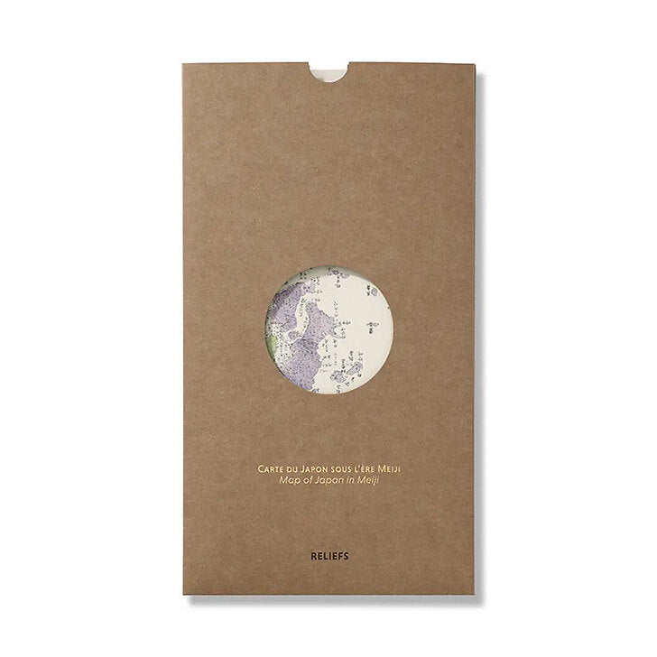
This multi-entry map (chizu), focuses on Japan’s main islands: Honshū, Shikoku, and Kyūshū. It also features the other islands and archipelagos of the empire in separate insets: Ezo, the northern island, annexed in 1869 and renamed Hokkaidō; the Kuril Islands archipelago; the Ryūkyū Islands; and the Ogasawara Archipelago. Additionally, the map offers detailed plans of Tōkyō, Kyōto, and Ōsaka. The administrative division of Korea (Chōsenkoku) reflects its status under the influence of both China and Japan (it would be fully colonised by Japan in 1905). Other insets provide information on the country’s mountain peaks, waterways, administrative departments, and the distances between various cities and Tōkyō.